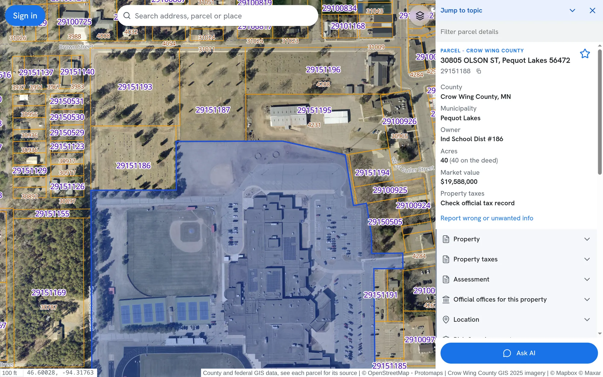
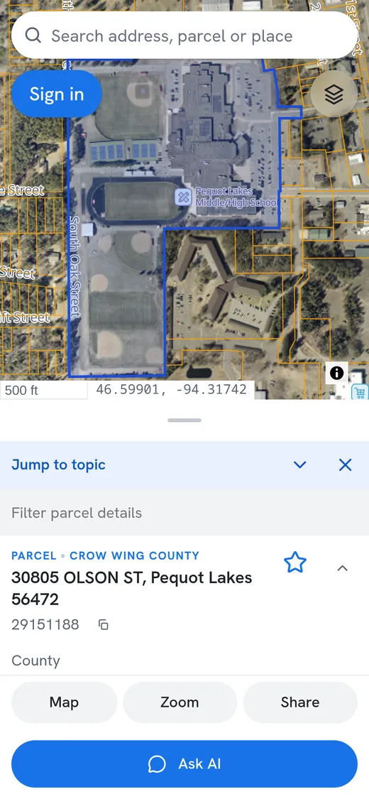
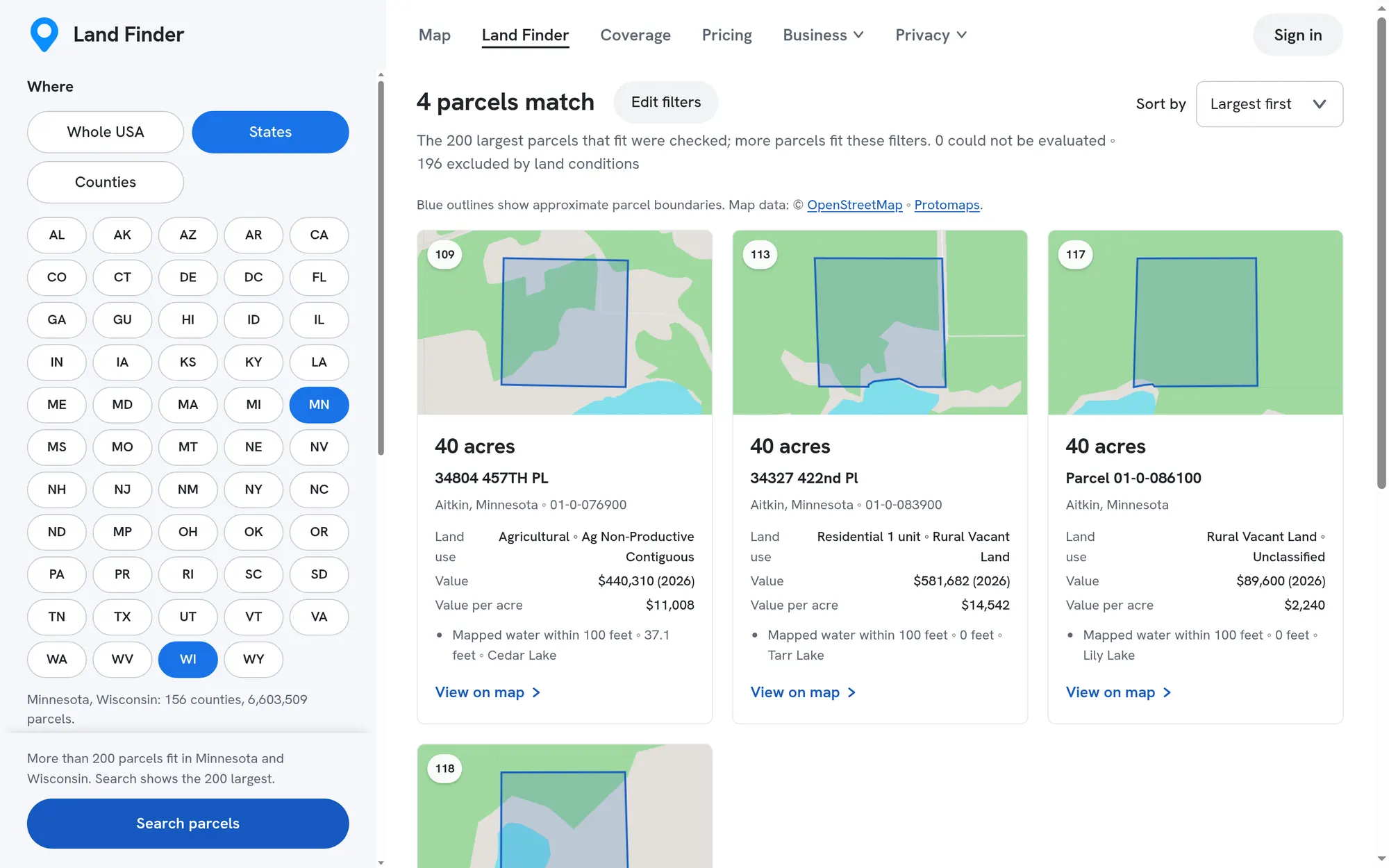
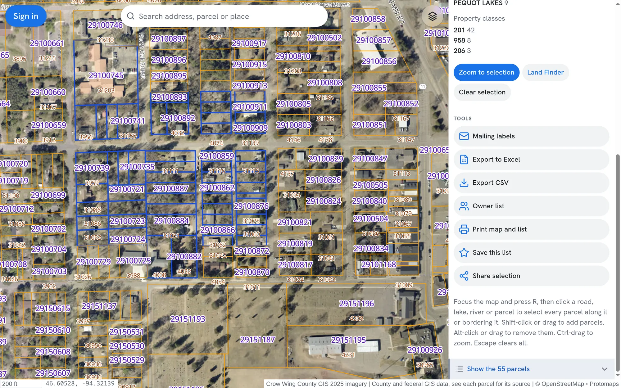
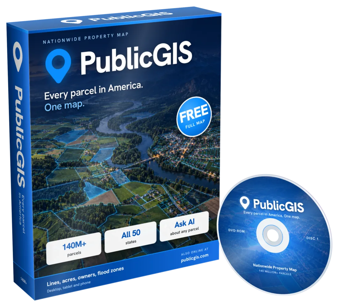
Click any parcel to see its lines, owner, acres, value, flood zone, soils and slope. Ask AI about it, find land across the country and take your list with you.
Search or zoomType an address, town or parcel number, or just zoom in on the map.
Click a parcelEvery property line on the map is clickable, on a computer or a phone.
See the whole storyOwner, acres, value, taxes, flood zone, wetlands, soils, slope, schools and links to the county.
What you can do
One click. Everything about the land.
Parcel details
Know the land before you go
Every parcel opens a full report built from public records: who owns it where the county publishes it, mapped and deeded acres, market value, assessment, tax links and the official offices to call.
Open a parcel and ask in plain words. The answer is checked against that parcel's public records and nearby map data, so you do not have to dig through every section yourself.
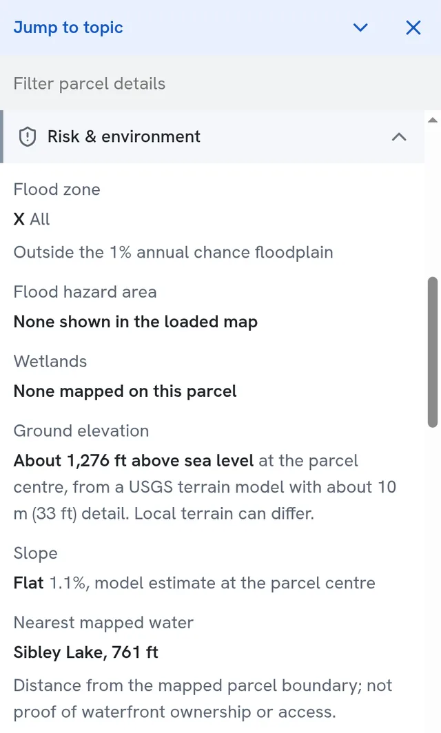
No. FEMA maps it in Zone X, outside the 1% annual chance floodplain, and no wetlands are mapped on it. The nearest mapped water is Sibley Lake, about 761 ft from the parcel line.
How steep is it?
Flat. The USGS terrain model puts the slope near the center at about 1.1%, at roughly 1,276 ft above sea level.
Ask about this property…
Example answers written from this parcel's public record.
Map layers
Turn on what matters
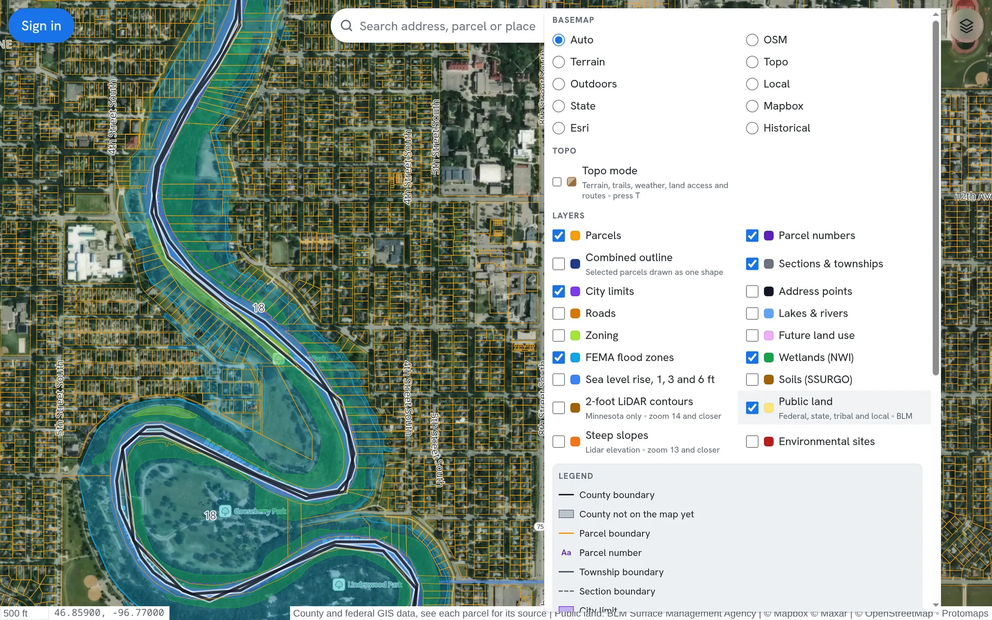
Stack the layers you need on satellite, street, terrain or historical imagery, and read the legend as you go.
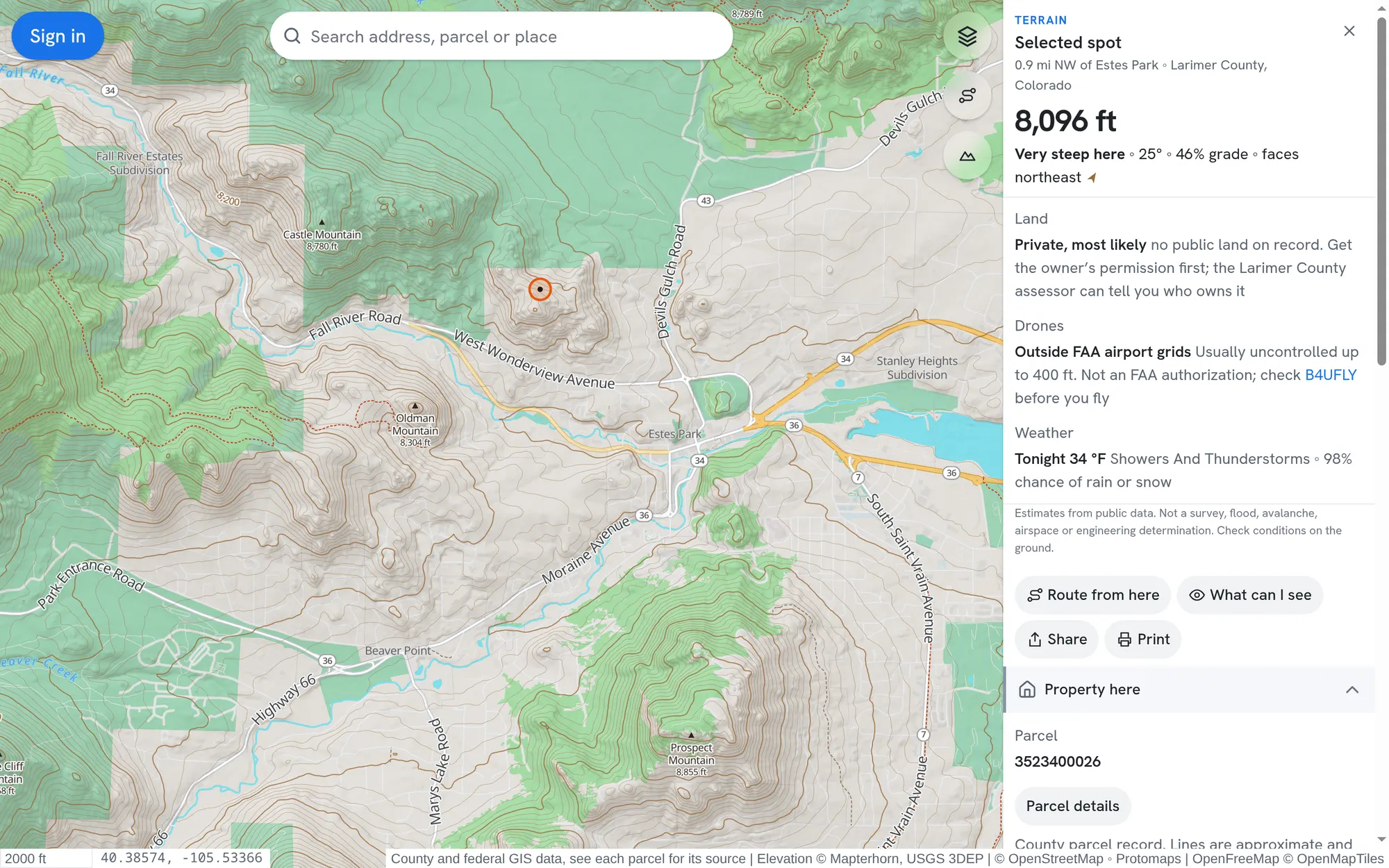
Press T for a topographic map with contours, trails and terrain. Click any spot for its elevation, slope, which way it faces, likely land access, drone airspace and tonight's weather.
Check your lines, your value and the flood zone before you build a fence or a shed.
Buyers
Look past the listing: acres, assessment, wetlands, slope and soils.
Land hunters
Find vacant acres near water, under a price, anywhere in the country.
Professionals
Real estate, surveying, building and investing, with lists, exports and labels.
Hunters and hikers
See public and private land, terrain and weather before you head out.
Neighbors and towns
Look up who owns the lot next door, the zoning and the city limits.
Questions
Good to know
Is PublicGIS free?
Yes. Anyone can use the map without an account. A free account raises your daily limits and keeps saved parcels on every device. Paid plans add owner name search, bigger exports and more daily lookups. Compare plans.
Where does the data come from?
From public records published by counties, states and federal agencies such as FEMA, USGS and USDA. Each parcel names its source and links to the county record.
Is my county on the map?
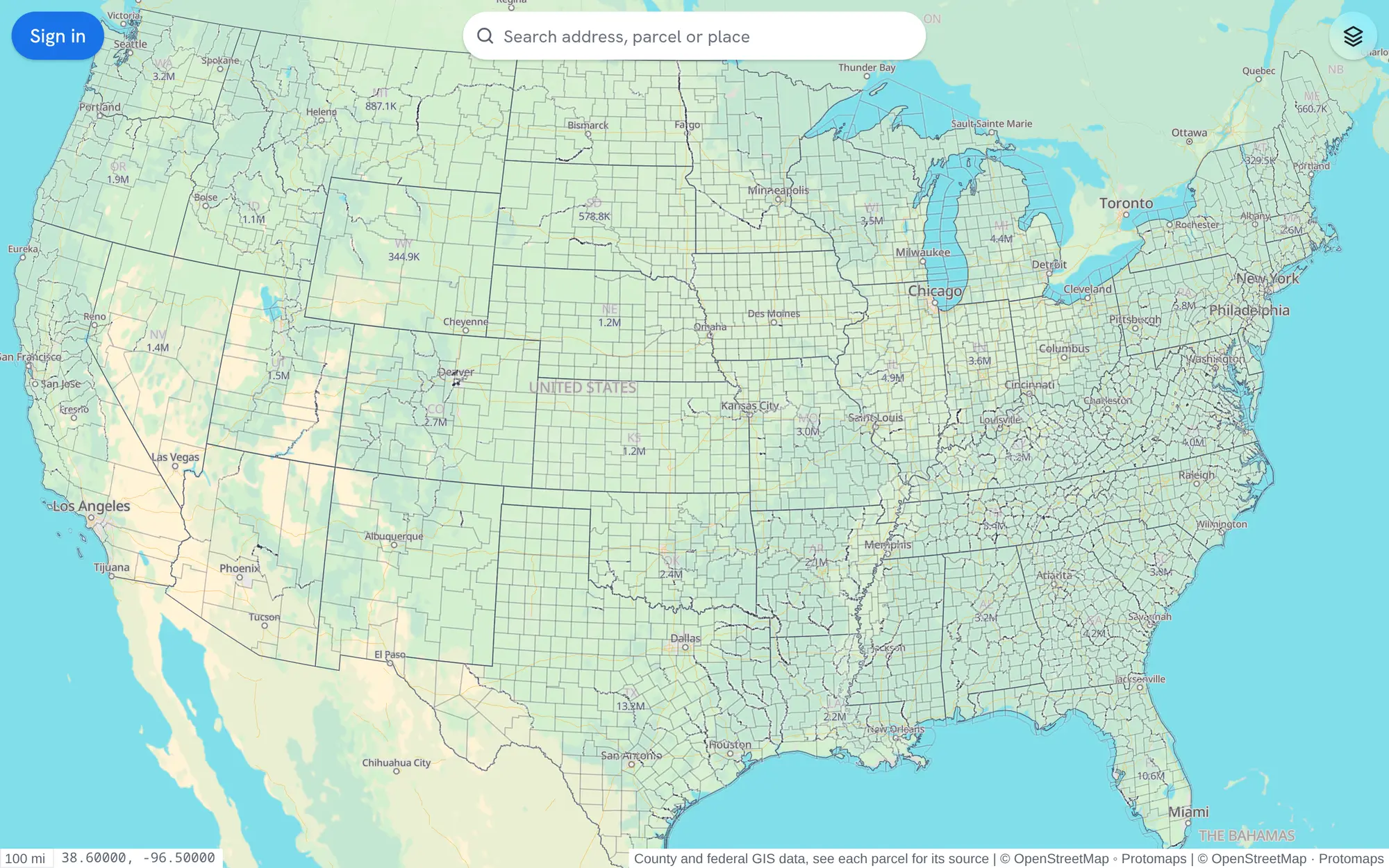
More than 2,600 counties are loaded and more are added every week. The records each county publishes differ. Check coverage.
Are parcel lines a legal survey?
No. Lines and acres come from county maps and are for reference. Confirm boundaries with the county or a licensed surveyor.
Does it work on my phone?
Yes. The map, parcel reports, Ask AI and Land Finder all work in your phone's browser. There is nothing to install.